
A glacial collapse high in the Himalayas on August 26 triggered a wall of water, rock, and debris that swept through valleys along the Nepal-Tibet border, destroying settlements across a 72-kilometer stretch of the Trishuli River and killing at least 919 people as of August 31. More than 4,700 remain missing across both countries, including nearly 900 hydropower workers believed trapped in flooded tunnels and at least 85 American nationals. The disaster, which registered as a magnitude 5.2 seismic event from the force of the glacial collapse alone, has overwhelmed rescue infrastructure across some of the most remote terrain in the Himalayan region and prompted warnings from scientists about the accelerating instability of high-altitude glaciers.
Key Takeaways
- At least 903 people have been confirmed dead in Nepal and 16 in China’s Tibet Autonomous Region, with a combined 4,793 people reported missing across both countries as of August 31.
- The disaster began when part of a glacier near the Langtang Lirung peak collapsed from approximately 5,200 meters, plunging 1,200 meters and generating a debris flow that reached the Gyirong border crossing within minutes and raised the Trishuli River by nine meters in 30 minutes.
- An estimated 898 hydropower workers remain unaccounted for across multiple tunnel sites, with rescue teams drilling into mud-filled tunnels at the Trishuli 3A and 3B hydropower projects to reach survivors believed trapped inside.
- The United States has activated $3.6 million in emergency humanitarian assistance, and at least 85 American nationals are among the missing, with nine evacuated as of August 31.
- Nepal has deployed nearly 21,000 security personnel alongside civilian workers and volunteers, and has accepted assistance from Chinese and Indian rescue teams after initially declining foreign help.
- Bodies have been recovered as far as 240 kilometers downstream, with some carried across the border into India’s Bihar state.
A Glacier Collapsed Without Warning on a Clear Morning
The flooding began at approximately 8:40 a.m. local time on Wednesday, August 26, in Nepal’s northern Rasuwa District. No rain had been falling. Local news editors reported that officials were caught off guard because the weather was clear, and the disaster’s origin was not immediately understood. Scientists analyzing satellite imagery later identified a glacial collapse on the Nepalese side of the border near Langtang Lirung as the trigger. Part of the glacier, perched at roughly 5,200 meters, detached from its bedrock and plunged approximately 1,200 meters, collecting rock and debris as it fell before slamming into the Lende River below.
The U.S. Geological Survey initially classified the seismic signal as an earthquake but later revised its assessment, concluding that the magnitude 5.2 reading originated from the landslide itself rather than tectonic activity. The volume of ice, rock, and water that entered the river system was massive enough to generate a seismic signature detectable by monitoring stations around the world.
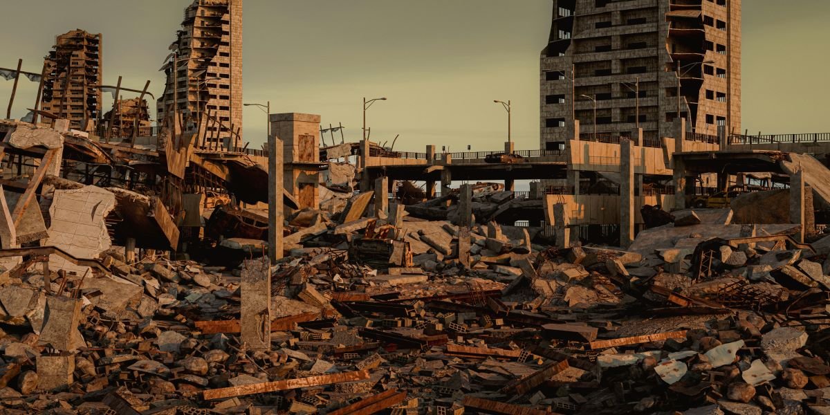
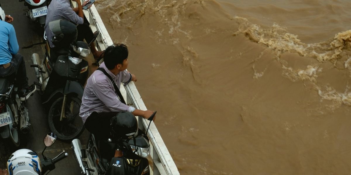
The resulting surge moved south through Nepal’s Rasuwa, Nuwakot, and Dhading districts, carrying waves that reached nearly 30 feet in height. At one point along the Trishuli River, water levels rose nine meters within 30 minutes. The flood destroyed the Gyirong checkpoint on the China-Nepal border, a strategic crossing that handled daily traffic from trade and tourism, including pilgrimage routes to Mount Kailash. From there, the torrent swept through dozens of settlements along a 72-kilometer corridor, burying buildings, destroying bridges, and severing road connections across the affected region.
The Death Toll Continues to Climb as Rescue Teams Reach Remote Areas
Nepal’s National Disaster Risk Reduction and Management Authority reported 903 confirmed deaths and 4,247 people missing as of Monday, August 31. China’s state-run Xinhua News Agency confirmed 16 dead and 546 missing in Gyirong County on the Tibetan side of the border. The combined toll of 919 dead and more than 4,700 missing makes the disaster one of the deadliest flood events in the Himalayan region in recent decades.
The missing include 592 foreign nationals on the Nepali side and 261 foreigners on the Tibetan side, among them over 100 Nepali citizens caught on the Chinese side of the border when the flood struck. At least 85 Americans remain among the missing. U.S. State Department spokesperson Tommy Pigott confirmed that nine Americans had been evacuated and acknowledged that the remoteness of the affected area was making reliable information difficult to obtain. The U.S. Embassy in Kathmandu issued a warning on Monday advising Americans against all travel to the affected region, citing flood damage, disrupted transportation and communications, and the risk of additional flooding and landslides.
The geography of the disaster has complicated body recovery. Floodwaters carried victims hundreds of kilometers downstream. Some bodies were recovered in Nepal’s Chitwan district, far from the impact zone in Rasuwa, and others were found across the border in India’s Bihar state, nearly 240 kilometers from where the flooding began. Hundreds of unidentified bodies have been buried in shallow graves as decomposition accelerated in the humid lowland conditions. Nepal’s government announced it would preserve DNA samples before burial to support future identification efforts.
Hydropower Tunnels Have Become the Focus of Rescue Operations
A significant portion of the missing are hydropower workers who were inside tunnels when the flood struck. Nepal’s Independent Power Producers’ Association reported that 898 hydropower workers were unaccounted for across multiple project sites along the Trishuli River. Approximately 361 workers had been rescued as of Sunday, but officials estimated that at least 90 to 100 people could still be alive and trapped inside tunnels at the Trishuli 3A and 3B hydropower projects.
Rescue teams have been working with excavators to clear mud and debris from tunnel entrances, drilling bore holes to pump air into the sealed passages and lower cameras to search for survivors. Nepal’s Minister of Energy, Water Resources, and Irrigation, Biraj Bhakta Shrestha, confirmed that crews had drilled a six-inch hole through the upper section of a tunnel at Trishuli 3A and were pumping air while preparing to widen the opening for rescue teams to enter.
Nepal Army spokesperson Brigadier General Raja Ram Basnet described the tunnel operations as the central challenge of the rescue effort. Massive deposits of silt, mud, and rock debris have filled sections of the tunnels, and rising river levels have periodically forced rescue teams to pause operations. Multiple foreign rescue teams, including Chinese and Indian specialists with tunnel extraction experience, have joined Nepali crews at the sites after the government reversed an earlier decision to decline international assistance.
A Debris Lake Formed Upstream, Adding a Secondary Flood Risk
The glacial collapse and the debris it deposited into the river valley created a natural dam that blocked water flow and formed a large lake upstream. By Saturday, Chinese authorities reported that the debris lake had begun to overflow, prompting Nepal to halt some rescue operations in border areas and issue renewed flood warnings for communities along the Bhote Koshi and Trishuli rivers in the Rasuwa, Nuwakot, and Dhading districts.
The formation of debris-dammed lakes after glacial collapses is a known secondary hazard in the Himalayan region. If the natural dam fails suddenly, it can release a second catastrophic surge downstream with little warning. Nepali authorities sent text alerts to residents along the affected rivers early Sunday morning after detecting increased water flow, though no evacuation order was issued. Monitoring of the lake’s stability has continued alongside rescue operations.
Nepal Mobilizes 21,000 Personnel While International Aid Begins to Arrive
Nepal Prime Minister Ballendra Shah described the disaster as “unprecedented and devastating” and said the government was moving forward with determination despite adverse weather, difficult terrain, and continuing risks. Nearly 21,000 security personnel from the Nepal Army, Nepal Police, and Armed Police Force have been deployed alongside civilian workers and volunteers.
The United States activated $3.6 million in emergency humanitarian assistance, which the State Department said includes up to three months of emergency food for up to 10,000 flood-affected households. Chinese Premier Li Qiang visited the disaster area in Tibet on Thursday to oversee emergency rescue and relief operations on the Chinese side of the border.
Survivors in the affected areas have reported a secondary crisis emerging as the immediate rescue phase continues. The Kathmandu Post reported that medicines, clean water, and basic supplies were running short in flood-affected communities, with damaged roads and destroyed bridges limiting the ability of relief convoys to reach isolated settlements. Psychosocial and telemedicine services have been launched for families affected by the Bhote Koshi flooding, and the Himalayan Times reported that eight tonnes of relief supplies were sent to Rasuwa in the first days after the disaster.
Scientists Point to Glacial Instability as a Growing Threat Across the Himalayas
The August 26 collapse fits a pattern that glaciologists have warned about with increasing urgency. The Himalayan region contains the largest concentration of glaciers outside the polar ice caps, and rising temperatures are destabilizing ice formations that have been relatively stable for centuries. Glacial collapses, glacial lake outburst floods, and ice avalanches have occurred repeatedly across Nepal, India, and Tibet in recent years.
Nepal experienced a glacial lake outburst flood in Rasuwa district as recently as July 2025, when monsoon rains and a likely glacial breach triggered flooding that damaged hydropower infrastructure and killed nine people along the same Trishuli River system. In August 2024, two glacier lakes burst in the Everest region’s Thame village in Solukhumbu district. India’s Uttarakhand state experienced a catastrophic glacier collapse in 2021 that killed more than 200 people and destroyed two hydropower plants along the Alaknanda River.
Hydrologists have noted that detecting and providing advance warning for high-altitude glacial failures remains difficult. Unlike monsoon-driven floods, which can be anticipated through weather forecasting, glacial collapses can occur without any rainfall trigger and with minimal observable warning signs on the ground. The August 26 event, which struck on a clear morning and was initially misidentified as an earthquake, illustrates the challenge that Himalayan communities and infrastructure face as glacial instability accelerates.
The Trishuli River corridor that bore the brunt of the flooding is also one of Nepal’s primary hydropower development zones, with multiple projects at various stages of construction and operation along the river system. The destruction of tunnels, dams, and generating equipment in the August 26 flood has raised questions about the siting and engineering standards applied to hydropower infrastructure built in glacier-fed river valleys. Nepal’s energy sector depends on hydropower for the vast majority of its electricity generation, and the loss of capacity along the Trishuli system will have economic consequences that extend well beyond the immediate disaster zone.
FAQs
What caused the Nepal-Tibet flooding on August 26?
Part of a glacier near the Langtang Lirung peak in Nepal’s Himalayan region collapsed from approximately 5,200 meters, plunging 1,200 meters and carrying rock, ice, and debris into the Lende River. The collapse generated a magnitude 5.2 seismic signal and triggered a massive surge of water and debris that swept through river valleys along the Nepal-Tibet border.
How many people have died in the Nepal-Tibet floods?
At least 919 people had been confirmed dead as of August 31, 2026, with 903 in Nepal and 16 in China’s Tibet Autonomous Region. More than 4,700 people remain missing across both countries, including 592 foreign nationals in Nepal and 261 in Tibet.
Are Americans among the missing in the Nepal floods?
At least 85 American nationals were among the missing as of Sunday, August 31. Nine Americans had been evacuated. The U.S. State Department activated $3.6 million in emergency humanitarian assistance and the U.S. Embassy in Kathmandu warned Americans against all travel to the affected region.
Why are hydropower workers trapped in tunnels?
The floodwaters surged through multiple hydropower project sites along the Trishuli River, filling tunnels with mud, rock, and debris. An estimated 898 hydropower workers were unaccounted for, with approximately 361 rescued. Rescue teams are drilling into sealed tunnels at the Trishuli 3A and 3B projects to pump air and search for survivors believed to be alive inside.
Is there a risk of additional flooding from the Nepal disaster?
The glacial collapse created a debris-dammed lake upstream that began to overflow by Saturday. If the natural dam fails, it could release a secondary flood surge. Nepal issued warnings for communities along the Bhote Koshi and Trishuli rivers and is monitoring the lake’s stability alongside ongoing rescue operations.